 Mountain guides
Mountains in Colombia
10 mountain guides in Colombia, out of 38 well-known mountains we know there.
Plan your visit
Stay, climb and get there
Some links above are affiliate links: if you book through them we may earn a commission, at no extra cost to you. It never changes what the data on this page says.
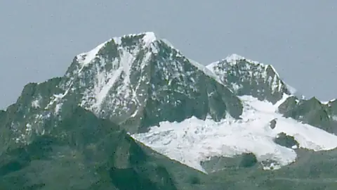 5,775 mPico Cristóbal ColónColombia
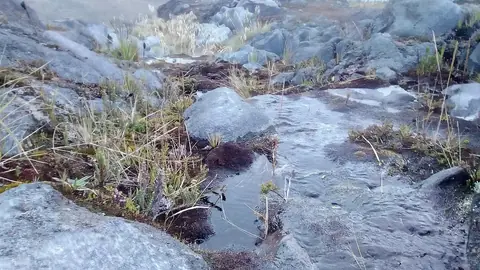 5,389 mNevado del RuizColombia
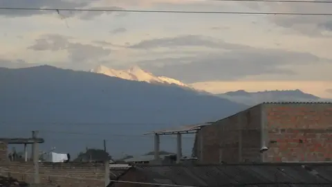 5,364 mNevado del HuilaColombia
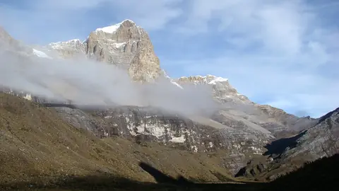 5,410 mRitacuba BlancoColombia
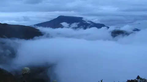 4,764 mCumbalColombia
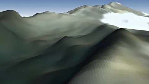 4,276 mGalerasColombia
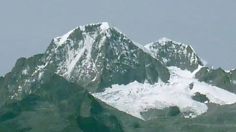 5,775 mPico Cristóbal ColónColombia
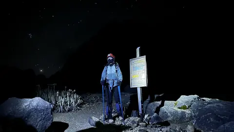 5,200 mNevado del TolimaColombia
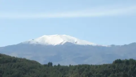 4,756 mPuracéColombia
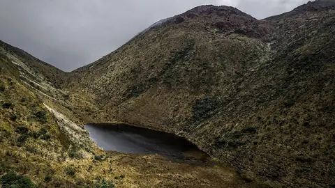 4,070 mVolcán AzufralColombia
Other well-known mountains in Colombia
- Santa Isabel4,945 m
- Farallones de Cali4,050 m
- Nevado del Quindío4,760 m
- Monserrate3,152 m
- Sotará4,400 m
- Doña Juana4,150 m
- Cerro Negro de Mayasquer4,445 m
- Cerro Bravo3,985 m
- Romeral3,858 m
- Alturas de Nique1,730 m
- Petacas4,018 m
- Nevado El Cisne4,636 m
- Guadalupe Hill3,260 m
- Volcán Cerro Machín2,650 m
- El Totumo15 m
- Cerro Tamaná4,100 m
- Paramillo Massif3,730 m
- Serranía de Macuira864 m
- Las Ánimas4,175 m
- Cerros de Mavecure
- Serranía de San Lucas2,700 m
- Cerro El Volador82 m
- Serranía de La Lindosa470 m
- Farallones del Citará3,901 m
The family
Do you prefer beaches, lakes, mountains, waterfalls, islands, rivers or canyons?
Same idea, other landscapes: field atlases built on open data, month by month, in seven languages.
 beaches
 Find your beach: sea temperature, sun and swimming month by month.Visit
  lakes
lakes Every lake on Earth: water temperature, ice, depth and the shore.Coming soonVisit
  mountains
 Every summit in 3D: summit weather, the 0 °C line, huts and trails.You are here
 waterfalls
 Every waterfall: height, flow month by month and when it roars.Coming soonVisit
  islands
 Every island from the sea up: size, sea temperature, ferries and 3D.Coming soonVisit
  rivers
 Every river from source to sea: the journey, the flow and the basin in numbers.Coming soonVisit
 canyonsCanyonyasEvery canyon cut to scale: depth to the floor, rim and floor temperatures, trails and viewpoints.Coming soonVisit