 Mountain guides
Mountains in Venezuela
3 mountain guides in Venezuela, out of 49 well-known mountains we know there.
Plan your visit
Stay, climb and get there
Some links above are affiliate links: if you book through them we may earn a commission, at no extra cost to you. It never changes what the data on this page says.
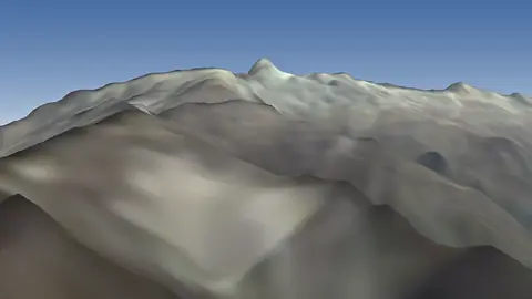
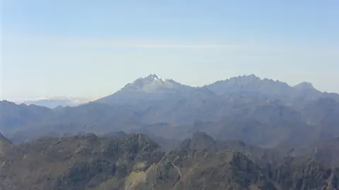
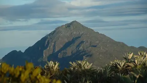
Other well-known mountains in Venezuela
- Auyán Tepuy2,500 m
- Pico Bonpland4,883 m
- Kukenán Tepuy2,680 m
- Cerro Pintado3,660 m
- Pico La Concha4,922 m
- Pico Espejo4,765 m
- Pico 31 de Março2,973 m
- Pico Piedras Blancas4,737 m
- Serra Imeri2,994 m
- Cerro Marahuaca2,832 m
- Sierra de la Culata4,737 m
- Pico El Toro4,755 m
- Pico El León4,740 m
- Pico Pan de Azúcar4,680 m
- Cerro Tristeza2,596 m
- Ptarí Tepuy2,400 m
- Cerro Duida2,358 m
- Aprada Tepuy2,500 m
- Yuruaní Tepuy2,400 m
- Mount Sarisariñama2,300 m
- Upuigma Tepuy2,100 m
- Uei-tepui2,150 m
- Pico El Águila
- Piedra del Cocuy400 m
The family
Do you prefer beaches, lakes, mountains, waterfalls, islands, rivers or canyons?
Same idea, other landscapes: field atlases built on open data, month by month, in seven languages.
 beaches
 Find your beach: sea temperature, sun and swimming month by month.Visit
  lakes
lakes Every lake on Earth: water temperature, ice, depth and the shore.Coming soonVisit
  mountains
 Every summit in 3D: summit weather, the 0 °C line, huts and trails.You are here
 waterfalls
 Every waterfall: height, flow month by month and when it roars.Coming soonVisit
  islands
 Every island from the sea up: size, sea temperature, ferries and 3D.Coming soonVisit
  rivers
 Every river from source to sea: the journey, the flow and the basin in numbers.Visit
 canyonsCanyonyasEvery canyon cut to scale: depth to the floor, rim and floor temperatures, trails and viewpoints.Coming soonVisit