
Skip to content
Peakyas
EN
Skipiste Baraque Fraiture

Mountain·BelgiumBelgium

Baraque de Fraiture

652m

Ardennes massif

Summit weather

Bimko · CC BY-SA 3.0 · Wikimedia Commons

Elevation
652m
Relief
227mabove the lowest point within 5 km
Steepest slope
15°within 1 km of the summit
Snow at the summit
Dec–MarSee month by month ↓
Summit
50.2497°N, 5.7342°E

Mountain in Belgium

Baraque de Fraiture is a mountain in the Ardennes massif (Belgium). Its summit stands 652 m above sea level.

From the lowest point within 5 km (425 m), it rises 227 m.

The nearest town is Bihain, 5 km away at 558 m: 94 m below the summit.

Read more on Wikipedia

Scores

Baraque de Fraiture for skiers and climbers

Two scores out of 10, built only from open data — every part is shown. They describe what the mountain offers, not how safe it is.

Hiking & mountaineering

5.0/10

Difficulty to the top

Hike

Estimated from the slope: OpenStreetMap has no graded paths near the top.

Indicative only — never a safety assessment. Conditions change: ask local guides and check the forecast.

  • 2.5/2.537 waymarked routes and 1 path sections nearby
  • 0.0/1.50 huts and shelters
  • 0.1/294 m of ascent from the valley
  • 0.9/1.5136 m of prominence
  • 1.5/1.512 months with summit afternoons above −5 °C
  • 0.0/1via ferratas, climbing and glaciers
Ski score

3.6/10

  • 0.8/42 km of downhill runs
  • 0.2/1.55 ski lifts
  • 0.2/1.5213 m between the lowest and highest lift station
  • 2.4/34 months of snow at about 544 m

Runs by difficulty

  • Easy 2 km

Snow season on the slopes (estimate)

Around 544 m, in the middle of the ski area: snow from December to March.

  1. Jan
  2. Feb
  3. Mar
  4. Apr
  5. May
  6. Jun
  7. Jul
  8. Aug
  9. Sep
  10. Oct
  11. Nov
  12. Dec
  • Snow on the ground all month
  • Snow some of the time
  • No snow
  • This month

5 lifts · lift stations from 437 to 650 m · 21 km cross-country

How these scores are made

Ski (where OpenStreetMap has skiing within 12 km): up to 4 points for the length of downhill runs (300 km or more = 4), 1.5 for the number of lifts (40+), 1.5 for the vertical between lift stations (1,500 m) and 3 for the snow season — a month counts when the estimated mean temperature at the height of the ski area is −1 °C or lower and snow falls or lies there (NASA POWER, 2001–2020). Hiking & mountaineering: up to 2.5 for waymarked routes and paths, 1.5 for huts, 2 for the ascent from the valley (2,000 m), 1.5 for prominence (3,000 m), 1.5 for the season (months with summit afternoons above −5 °C) and 1 for via ferratas, climbing and glaciers. OpenStreetMap is built by volunteers: where few things are mapped, a score can be lower than reality.

Plan your visit

Stay, climb and get there

Some links above are affiliate links: if you book through them we may earn a commission, at no extra cost to you. It never changes what the data on this page says.

Snow

When there is snow on Baraque de Fraiture

At the summit, snow from December to March. Month by month below, at different heights on the way up.

JanFebMarAprMayJunJulAugSepOctNovDec
Summit652 msnow from December to March
Snow on the ground all monthSnow on the ground all monthSnow on the ground all monthNo snowNo snowNo snowNo snowNo snowNo snowNo snowNo snowSnow on the ground all month
Bihain558 msnow from December to March
Snow on the ground all monthSnow on the ground all monthSnow on the ground all monthNo snowNo snowNo snowNo snowNo snowNo snowNo snowNo snowSnow on the ground all month
  • Snow on the ground all month
  • Snow some of the time
  • No snow
  • This month

Estimate for a normal year: average temperature and precipitation from NASA POWER, carried to each height, in a simple model of snow building up and melting. In a given year snow can come earlier or stay longer. It does not replace the local snow and avalanche bulletin.

Summit weather

Baraque de Fraiture, month by month

Not a forecast: long-term averages (1991–2020), carried up to the summit. The orange line is where an average afternoon reaches 0 °C; above the dashed blue line it freezes even at dawn.

On an average July afternoon the summit reaches about 21 °C; on January nights it falls to about -4 °C. Afternoons at the top are above freezing in every month of the average year. In July the 0 °C line climbs to about 3,880 m, above the summit: the top thaws on an average afternoon. Across the region, April is the driest month (52 mm) and December the wettest (93 mm).

0 m1,000 m2,000 m3,000 m4,000 mSUMMIT · 652 mBIHAIN · 558 mJanuary: 770 mFebruary: 940 mMarch: 1,590 mApril: 2,370 mMay: 2,960 mJune: 3,520 mJuly: 3,880 mAugust: 3,800 mSeptember: 3,230 mOctober: 2,390 mNovember: 1,490 mDecember: 910 mJanFebMarAprMayJunJulAugSepOctNovDec
0 °C on an average afternoon 0 °C at dawn the summit
MonthSummit high °CSummit low °CBihain high °C0 °C line (m)Rain & snow (mm)Wet daysSun h/day
January1-4177084161.3
February2-4294073142.4
March6-271,59069144.2
April112122,37052126.3
May155162,96076146.7
June199193,52076147.1
July2111223,88076147.0
August2010213,80085146.2
September177173,23060125.5
October114122,39072143.5
November6061,49079161.6
December2-3291093171.0

Estimate: the NASA POWER climate of a ~55 km cell (average height 386 m), adjusted to the summit by −6.5 °C per 1,000 m. Rain, wet days and sunshine are those of the region. Mountain weather changes fast — always check a local forecast. ★ = mildest months at the top.

Relief

The mountain in profile

Two cuts through the summit, 16 km long, from the 30 m Copernicus elevation model. Heights drawn 9× taller than lengths, so the shape can be seen.

West – east
652 m457 m0 km2 km4 km6 km8 km10 km12 km14 km16 kmWE
South – north
652 m365 m0 km2 km4 km6 km8 km10 km12 km14 km16 kmSN
Steepness by direction
30°N: 3°NNE: 6°NEE: 3°ESE: 2°SES: 4°SSW: 2°SWW: 2°WNW: 2°NW

Average slope of the first kilometre from the summit. The orange petal is the steepest side.

Around the mountain

Huts, lifts and trails around Baraque de Fraiture

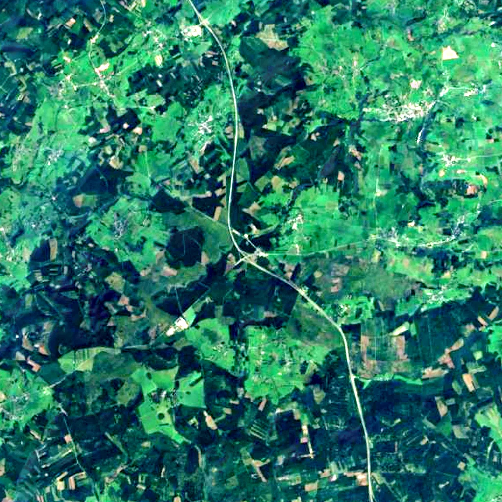
Counted around the summit in OpenStreetMap, the map anyone can edit. The satellite plate shows 14 × 14 km.

Baraque de Fraiture seen from above (Sentinel-2) N 5 km

Sentinel-2 cloudless 2016 (EOX, CC BY 4.0), 14 × 14 km, north up. Points © OpenStreetMap contributors.

A lift reaches 650 m — just 2 m below the summit.

  • —mountain huts and shelters
  • —cable cars, gondolas, chairlifts and rack railways
  • —ski areas
  • 37waymarked hiking routes

    GR 14 Parcours Principal, Fraiture Jaune, Fraiture rouge, Lierneux 6 and 33 more

  • —via ferratas
  • —climbing crags and routes
  • —named glaciers
  • 19viewpoints

    Belvedère La Falize, Point de vue du Monty, Rocher du Diable "al' Falhouze", Tour d'observation de Sacrawé and 15 more

  • 7campsites

    Gossaimont, Petite Suisse, Camping aux Massotais, Domaine du Moulin de Malempré and 3 more

  • 40hotels, B&Bs and chalets

    Les Moineaux, Saint-Roch, Willow Springs Way Station, Vakantiehuis La Campanelle and 36 more

  • 21restaurants and cafés

Towns at the foot

  • Bihain5 km · 558 m
  • Lierneux6 km · 418 m
  • Manhay6 km · 440 m
  • Fosse12 km · 438 m
  • Bovigny13 km · 450 m
  • Vielsalm13 km · 367 m
  • Houffalize14 km · 329 m
  • La Roche-en-Ardenne14 km · 225 m

OpenStreetMap is built by volunteers: a low number may just mean nobody has mapped it yet. Places © OpenStreetMap contributors (ODbL).

Photos

Seen by climbers and visitors

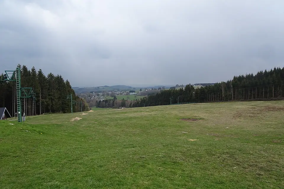
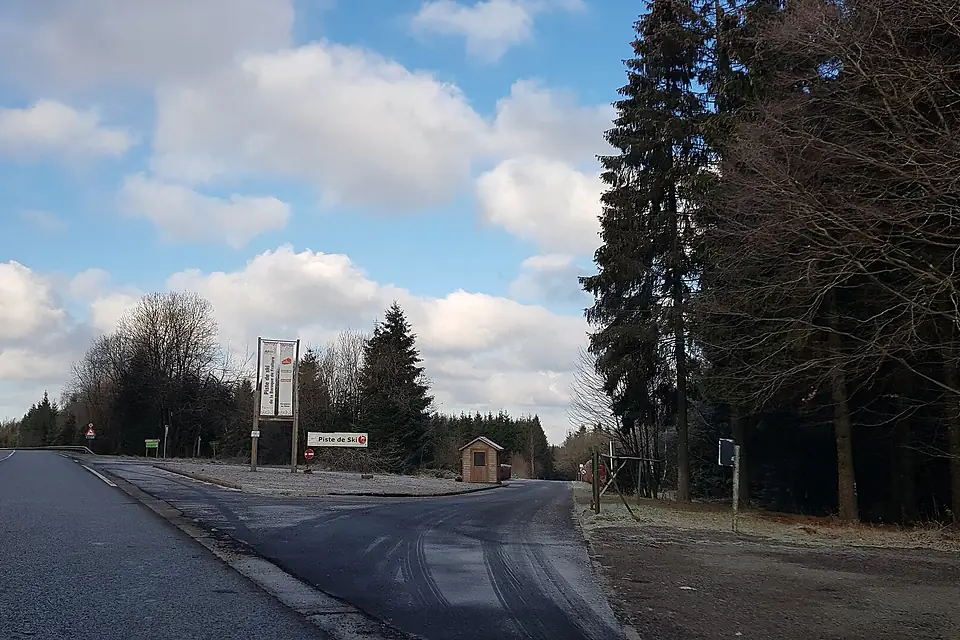
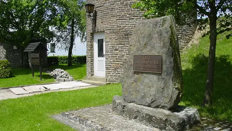
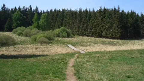
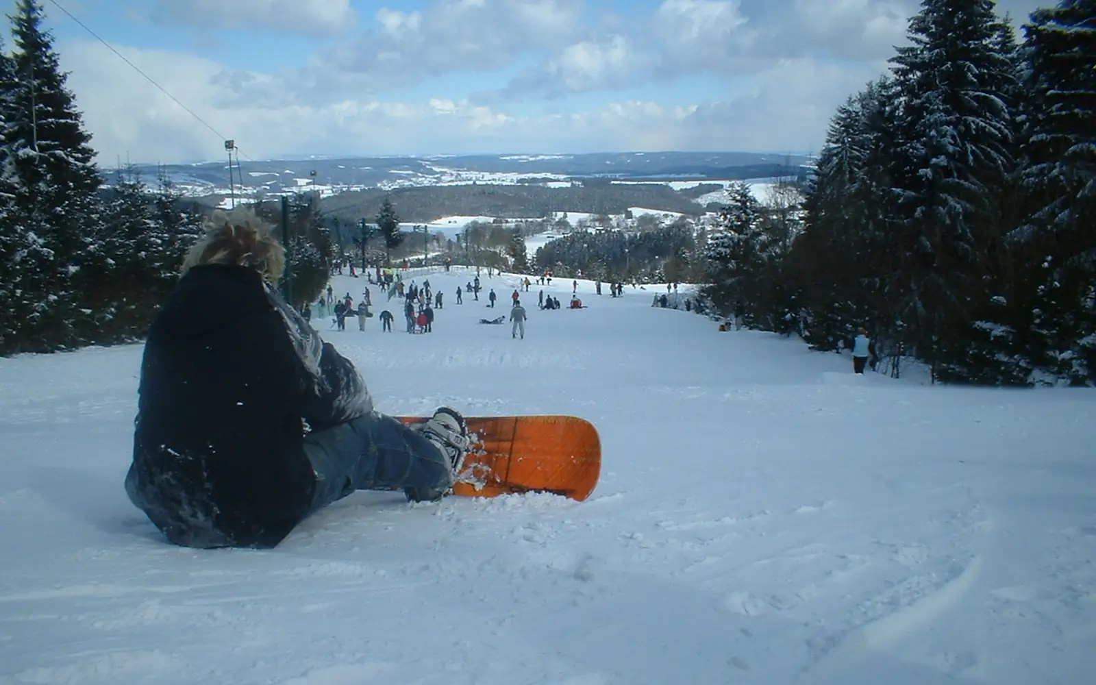
Piste de Ski - Baraque de Fraiture - Avril 2019
Stratoswift · CC0
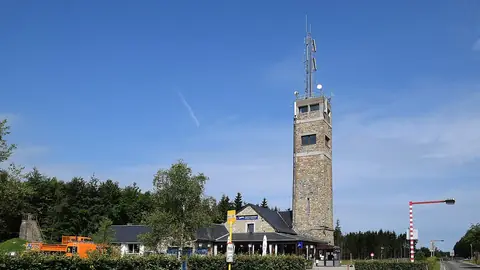
Vielsalm-Piste de ski Baraque de Fraiture (1)
Romaine · CC0

Recent years

How each month compared at the summit

Afternoon high at the summit (estimate). The first row is the reference, the 1991–2020 average in °C; the years show only the difference.

JanFebMarAprMayJunJulAugSepOctNovDec
1991–2020 average1261115192120171162
2020+2.2+3.4+0.4+3.2+0.6+0.3+1.2+3.9+3.4−1.1+1.8+1.0
2021−0.8+2.1+0.6−2.8−3.3+1.8−1.8−2.6+1.5+0.1−1.0+1.1
2022+0.9+2.8+2.3−0.5+2.3+2.2+3.3+5.3−0.1+3.1+1.5+0.3
2023+1.9+1.9+0.4−1.8+0.7+3.0+0.2−0.4+4.1+2.1±0.0+1.9
2024+0.1+4.1+2.2−0.8+0.1−1.0−1.0+1.0−0.5+1.3+0.1+0.6
2025+0.4+0.2+2.5+1.8+1.1+2.5+0.3+1.9−0.7−0.3+0.3+2.1

+1 warmer than usual −1 cooler than usual

About these numbers

Names, elevation, prominenceWikidata (Q2183673) · CC0
Relief, 3D view, profilesCopernicus DEM GLO-30 · © DLR e.V., © Airbus Defence and Space GmbH, Copernicus/ESA
ClimateNASA POWER, 1991–2020 · CC BY 4.0
Around the mountain© OpenStreetMap contributors · ODbL
ImagesEOX Sentinel-2 cloudless 2016 · CC BY 4.0; Wikimedia Commons

Every figure is an average, an estimate or a count from a public dataset. Licences and methods: data sources.

The family

Do you prefer beaches, lakes, mountains, waterfalls, islands, rivers or canyons?

Same idea, other landscapes: field atlases built on open data, month by month, in seven languages.

beachesCoastyaFind your beach: sea temperature, sun and swimming month by month.Visit
lakesLakeyasEvery lake on Earth: water temperature, ice, depth and the shore.Coming soonVisit
mountainsPeakyasEvery summit in 3D: summit weather, the 0 °C line, huts and trails.You are here
waterfallsCascadyasEvery waterfall: height, flow month by month and when it roars.Coming soonVisit
islandsIslandyasEvery island from the sea up: size, sea temperature, ferries and 3D.Coming soonVisit
riversRiveryasEvery river from source to sea: the journey, the flow and the basin in numbers.Visit
canyonsCanyonyasEvery canyon cut to scale: depth to the floor, rim and floor temperatures, trails and viewpoints.Coming soonVisit